
 money
money Blizzard warning issued for all of southeastern South Dakota

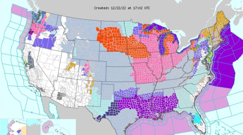
Almost all of South Dakota, except for the southwest portion of the state, will be under a blizzard warning this afternoon, according to the National Weather Service of Sioux Falls.
The warning, which takes effect from noon Thursday through 6 p.m. Friday, coincides with a wind chill warning that will last until noon Saturday for much the state.
The blizzard warning means:
Areas of blowing snow could significantly reduce visibility.
The hazardous conditions could impact the morning or evening commute.
Gusty winds could bring down tree branches.
The dangerously cold wind chills could cause frostbite on exposed skin in as little as 5 minutes.
More:What's a snow squall? Here's what it means and why you should care
The NWS website states wind gusts up to 45 mph will produce blowing snow, which will reduce the visibility to less than1 mile at times in open areas.
"Those with holiday travel plans will want to monitor the forecast closely and adjust plans as necessary," the NWS warning states. "Any person that becomes stranded or trapped outdoors could encounter a life- threatening situation in a short amount of time."
How to stay safe amid blizzard conditions, according to NWS:
Avoid outside activities if possible. When outside, make sure you wear appropriate clothing, a hat, and gloves.
Travel should be restricted to emergencies only. If you must travel, have a winter survival kit with you. If you get stranded, stay with your vehicle.
Use caution while traveling, especially in open areas.
The latest road conditions for the state you are calling from can be obtained by calling 5 1 1.
This article originally appeared on Sioux Falls Argus Leader: Blizzard warning issued in Sioux Falls, southeastern South Dakota
