Amarillo area faces flooding problems as rainfall continues
Amarillo and the surrounding area are preparing for yet more rainfall in the upcoming week as certain areas were under a flood watch, flash flood warnings, severe thunderstorm warnings and more.
According to the National Weather Service of Amarillo, the Amarillo area alone has received 5.11 inches since the Globe-News' last report, including rainfall totals until Monday, May 22. This includes the 3.7 inches included for the month of May and the 1.41 inches that occurred early Thursday morning, accounting for a portion of June's precipitation.
The total amount of precipitation for the month of May in Amarillo is 7.36 inches; the current record for highest May rainfall is 9.81 inches set in 1951. For the year, Amarillo has seen a total of 9.24 inches. The total average amount of annual precipitation for Amarillo is 19.71 inches. In total, Amarillo had the 6th highest rainfall for the month of May on record.
NWS senior forecaster Douglas Weber said that with the sudden influx of rainfall that we are experiencing in the area, this has caused some major flooding, including areas of Dalhart, Borger and Guymon, Oklahoma, where they have experienced record breaking rainfall.
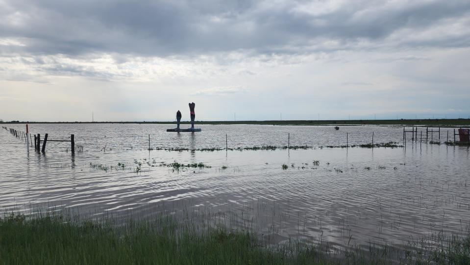
Weber stated that playa lakes surrounding the Panhandle area are at or exceeding water capacity, and they are beginning to flood due to excess water, as seen in Amarillo with the McDonald Lake located at 45th and Coulter, which is experiencing flooding due to excess runoff from the rainfall.
In addition to this, the National Weather Service measured the Canadian River to be at 10.3 feet of water just 19 miles north of Amarillo near Hwy. 287. The NWS states that the river is close to reaching its 42-year-record height of 11.88 ft., established in August of 1981. In addition to record heights, the river has also widened to flood many properties in the area, resulting in individual and livestock having to be relocated.
More: 'PLEASE DO NOT': Potter County Sheriff urges locals to not float river in hazardous floods
With the flooding that the area is already experiencing, Weber says there is even more rainfall to come throughout the week, with little to no stopping.
"We have thunderstorms pretty much every day this week. One model is showing us (having) a possible 48-hour reprieve in about five or six days from now, followed by another system that comes in. This is definitely a unique pattern; it is definitely something we haven't seen in quite some time. It is too soon to say is it is record breaking, but I have been here for seven years and it is a unique pattern to have received this much rain in a constant period," Weber said.
The meteorologist compares the systems to a similar time period in 2019, where the area saw more than average rainfall. He said this year, we are seeing more rainfall more consistently than the influx we saw in 2019, resulting in the flooding we are seeing throughout the area.
In a rough estimate created by the NWS for the upcoming week, the Amarillo area is expected to see 1.5 to 3 inches of additional rainfall over the next seven days. In the area from Canadian down to Amarillo to Clarendon and over to Childress, total rainfall is estimated to reach upwards of 3 to 5 inches in the upcoming week.
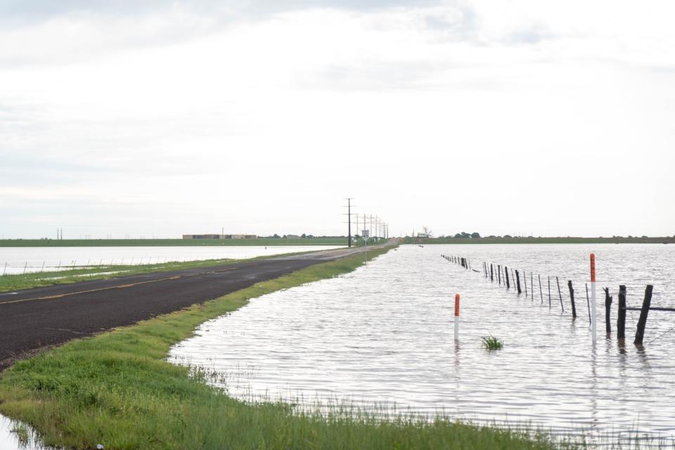
"With constant raining every day and with very little breaks, the soil is not getting a chance to dry out so that it can absorb future rainfall amounts," Weber said. "So, it is beginning to almost treat any rainfall that occurs not completely like concrete but not too far off of what it is like for rain to hit concrete, resulting in the waters running to flow into the drainage areas, which we are now beginning to see overflow as well."
As more rainfall occurs, Weber urges individuals to take caution while driving, especially at night where visibility is lowered and rainfall is forecasted to occur.
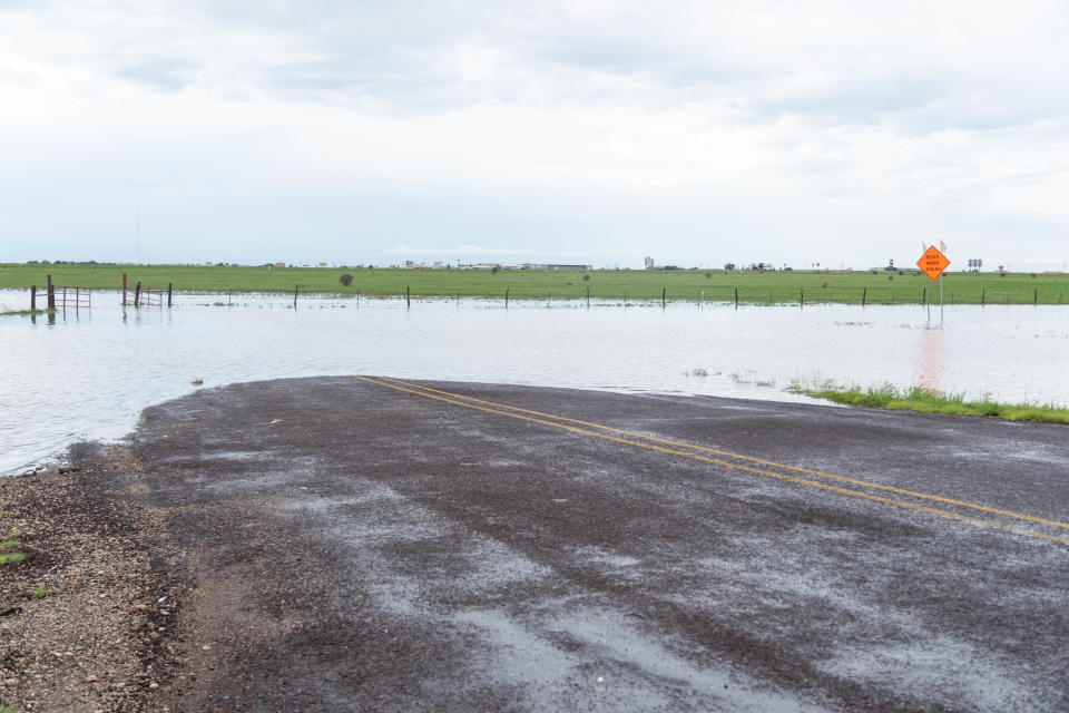
"With more rainfall happening especially at night, it is very easy to not know how deep the water is. ... So water that may look a couple of inches, especially in a lower car, you face more risk of entering a flooded area and putting yourself at risk or causing damage to your vehicle. So if you are unsure, turn around don't drown," he said.
NWS has issued a flood watch now until June 6 at 7 p.m.; this watch is due to the rise of water levels in our area, including lakes, rivers, creeks, streams, low-lying and flood prone locations and poor drainage areas. The flood watch is currently in effect for portions of the panhandle of Oklahoma, including Cimarron and Texas counties, as well as portions of the Texas Panhandle including Armstrong, Carson, Dallam, Deaf Smith, Hansford, Hartley, Hutchinson, Moore, Oldham, Palo Duro Canyon, Potter, Randall and Sherman counties.
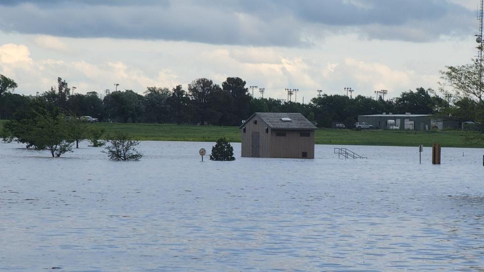

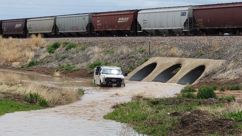
According to media reports, the Amarillo Emergency Communications Center received more than a dozen water-stalled vehicle reports overnight Wednesday. And the American Red Cross told media that multiple homes were damaged after flooding in Hereford.
More: Amarillo: Wastewater spills contained at Hollywood Road Treatment Facility, Osage Street
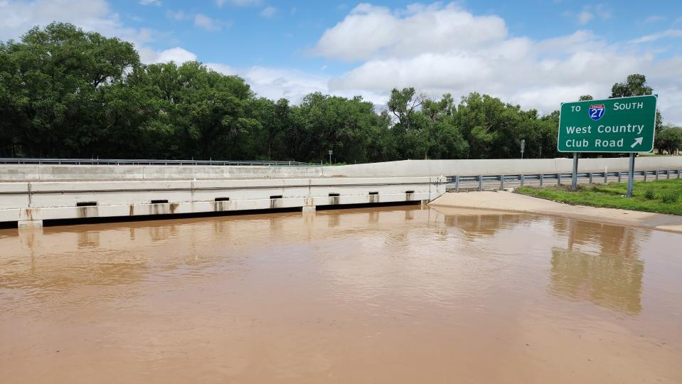
All trails were closed Thursday at Palo Duro Canyon Park, which said the hill driving down into the lower portion of the park was blocked on one side by a boulder. A portion of Park Road 5 was closed from the Lighthouse parking lot to Cactus Picnic Area. According to the Canyon Fire Department, the city had received 4.77 inches of rain since Wednesday evening, making many low water crossings in and around Canyon impassable and bar ditches overflow onto roadways. And the Randall County Sheriff's Office said the US Department of Fish and Wildlife was releiving some of the pressure on the Buffalo Lake dam by releasing some of the water down Tierra Blanca Creek, with the water being non-potable to the point of no contact.
The NWS also warns all individuals to stay away form the Canadian River area; with the fluctuating of water levels, there is a high risk for flooding. The NWS advises individuals to stay off the water as well and advises against any water activities including kayaking, tubing, swimming, and/or boating.
"All it takes is about 6 inches of rushing water to knock you off your feet and 12 to 18 inches to sweep your car away," Weber added, "so stay on top of the forecast each day, understand the areas with poor drainage and avoid those areas. Understand that with the morning or late afternoon commutes to pay extra attention to the rainfall."
Randall and Potter counties, city of Canyon declare local disasters
Randall County Judge Christy Dyer signed a Declaration of Local Disaster related to severe weather and prolonged flooding on Thursday, June 1, the county said in a Thursday afternoon update.
"The continued rainfall across the panhandle has led to flooding along Tierra Blanca Creek as well as the area inside SW Loop 335 along 77th Avenue," a news release states. "Numerous County roads are currently closed, and swift running water crossing roadways will cause more roads in Randall County to be closed as this event continues."
The release said Judge Dyer, in cooperation with each respective elected body, has ordered Lake Tanglewood, Timbercreek Canyon, The Palisades and River Falls closed to the public for any type of recreational activities under the authority of the declaration. In addition, Buffalo Lake National Wildlife Refuge has been temporarily closed to the public by the US Fish and Wildlife Service. Palo Duro Canyon State Park is currently open, but the county said officials are closely monitoring the situation.
“Protecting the safety of residents as they travel through areas of concern are a priority for Randall County,” said Judge Dyer.
"The Amarillo Office of Emergency Management is working with the Red Cross to establish shelter locations for citizens affected by the flooding," the release said. "Plans are currently in the works to establish a shelter in Canyon and one in Amarillo."
Residents are encouraged to stay home after dark, and officials urge all residents to turn around and not to drive through flooded areas, to prevent accidents and ensure public safety.
In addition, Canyon Mayor Gary Hinders signed a Declaration of Local Disaster related to severe weather and prolonged flooding on Thursday. The declaration of a local disaster related to severe weather and prolonged flooding cited "widespread and severe property damage and dangerous conditions." Weather conditions pose the threat of continued flooding and carry the imminent potential of endangering lives and damaging property on a large scale. The declaration also mentioned violators could face a fine or jail time.
As with other areas in the Texas Panhandle, the city of Canyon has experienced continued rainfall leading to city road closures due to swift, running water at high water levels on the road.
“The Canyon area has been impacted by floods in levels we have not seen in many years,” Hinders said in a news release. “The State of Emergency allows us to both protect our citizens and potentially provide assistance to them as we have upcoming weather events predicted by the National Weather Service.”
Earlier in the week, Potter County Fire Rescue said Potter County issued its own Declaration of Local State of Disaster for the northern and northwestern parts of the county, signed by County Judge Nancy Tanner, in response to the ongoing flood emergency. "Whereas, from May 18, 2023, at the latest, and continuing through the date of this Declaration, portions of northwestern and northern Potter County, Texas, specifically including, but not limited to, the Valle De Oro community and its surrounding area, have suffered, and continue to suffer, widespread and severe damage, loss of property, and the imminent threat of damage, injury, and loss of life and property resulting from flooding," the declaration says, it notes flooding has resulted in severe damage to residential property and public and private infrastructure, and has rendered a number of residences and properties inaccessible by roads or motor vehicles, including motor vehicles utilized by first responders.
The disaster declaration includes, but is not limited to, the Valle de Oro community, its surrounding area and all areas of the Canadian River basin up to the point at which the river flows into Lake Meredith and includes a mandatory evacuation.
The Potter County action activated emergency plans, "including authorization for the furnishing of aid and assistance to the affected area and all people located in the affected area."
This article originally appeared on Amarillo Globe-News: Amarillo officials warn of flooding as more rainfall occurs

 money
money 